Related Posts


10. Ciecz

fot. Jacek Halicki / wikipedia.org (CC BY-SA 3.0)
- depth: 58.8 m
- location: Lubusz Lake District
- geographical coordinates: 52°20′50″N 15°17′26″E
- area: 185.7 ha
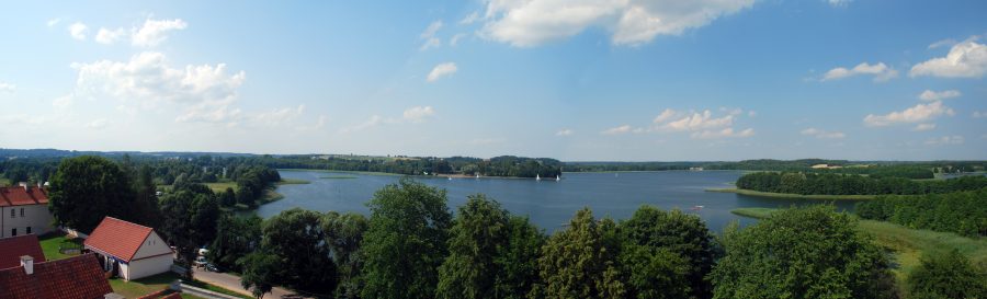
9. Jezioro Morzycko

fot. Kapitel / wikipedia.org (CC0)
- depth: 60.7 m
- location: Myśliborskie Lake district
- geographical coordinates: 52°51′50″N 14°24′33″E
- area: 342 ha
8. Babięty Wielkie
- depth: 65.2 m
- location: Mazury lake district
- geographical coordinates: 53°43′07″N 21°07′15″E
- area: 264 ha
7. Wuksniki
- depth: 67.3 m
- location: Iława Lake District
- geographical coordinates: 53°58′13″N 20°05′57″E
- area: 118.5 ha
6. Wdzydze

fot. Polimerek / wikipedia.org (CC BY-SA 3.0)
- depth: 69.5 m
- location: Bory Tucholskie
- geographical coordinates: 53°58′31″N 17°54′19″E
- area: 1,455.6 ha
5. Wigry
fot. Szwedzki at Polish Wikipedia (CC BY-SA 2.5)
- depth: 74.2 m
- location: Wigry National Park
- geographical coordinates: 54°01′09,36″N 23°04′48,77″E
- area: 2,118.3 ha
4. Czarny Staw pod Rysami

fot. KSkyMaja / wikipedia.org (CC BY-SA 4.0)
- depth: 77 m
- location: High Tatras
- geographical coordinates: 49°11′20″N 20°04′37″E
- area: 20.64 ha
3. Wielki Staw Polski

- depth: 80.3 m
- location: High Tatras
- geographical coordinates: 49°12′33″N 20°02′27″E
- area: 34.14 ha
2. Drawsko
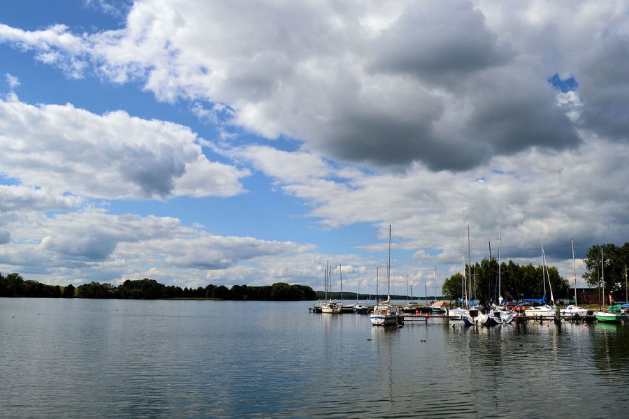
fot. Kapitel / wikipedia.org (CC0)
- depth: 82.2 m
- location: Drawskie Lake District
- geographical coordinates: 53°35′12″N 16°11′15″E
- area: 1,781.5 ha
1. Hańcza

fot. Albertus teolog / wikipedia.org (CC BY-SA 4.0)
- depth: 106.2 m
- location: East Suwałki Lake District
- geographical coordinates: 54°16′18,1″N 22°48′51,5″E
- area: 311.4 ha
The most popular

